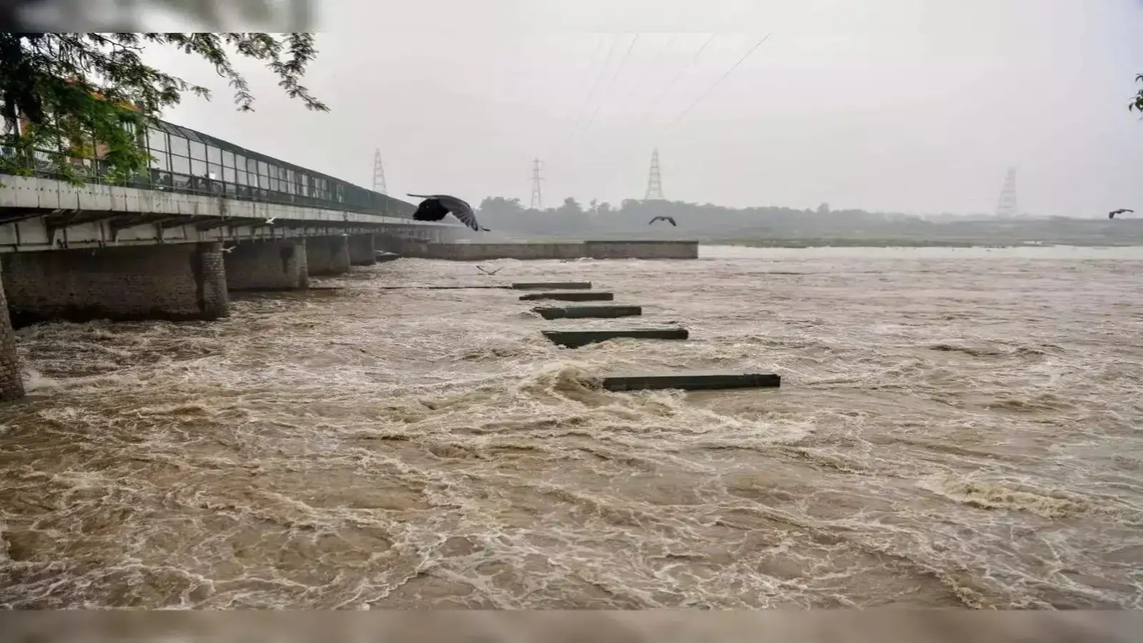
Delhi Flood Alert : Authorities have issued a high alert in the national capital after the Hathnikund Barrage in Haryana released over 1.8 million cusecs of water on Monday, raising the risk of flooding in Delhi’s low-lying areas by Tuesday evening.
Delhi Flood Alert : According to official figures, between 7 a.m. and 10 a.m., the barrage released more than 1.2 million cusecs of water — 2,72,745 cusecs at 7 a.m., 3,11,032 cusecs at 8 a.m., 3,29,313 cusecs at 9 a.m., and 3,21,653 cusecs at 10 a.m. The discharge continued with 3,19,000 cusecs at 11 a.m. and 3,23,180 cusecs at noon.
Vulnerable areas in Delhi
Officials have identified Garhi Mandu, Usmanpur, Yamuna Bazaar, Mayur Vihar Pushta, and Okhla as the most at-risk zones. If water continues to be released at this rate, the Yamuna could overflow into the Inter-State Bus Terminal (ISBT). Evacuation measures are ready in case river levels breach danger marks.
Monsoon rains add to woes
Heavy showers lashed several parts of Delhi on Monday afternoon, further worsening the situation. The India Meteorological Department (IMD) issued a yellow alert for thunderstorms, lightning, and moderate to heavy rainfall. The IMD forecast indicates active monsoon conditions in Delhi and nearby regions for the next five days, with frequent spells of rain.
The city recorded a minimum temperature of 23.7°C — 2.8°C below normal — and is expected to see a maximum of around 30°C. Humidity stood at 90% at 8:30 a.m., the IMD reported.
Wettest August in 15 years
With 399.8 mm of rainfall recorded so far, this has been Delhi’s wettest August since 2010, when 455.8 mm was logged. By comparison, August 2023 received only 91.8 mm, August 2022 saw 41.6 mm, and 2021 recorded 237 mm. Since June, the capital has received over 750 mm of rainfall, already surpassing the seasonal monsoon average of 774.4 mm