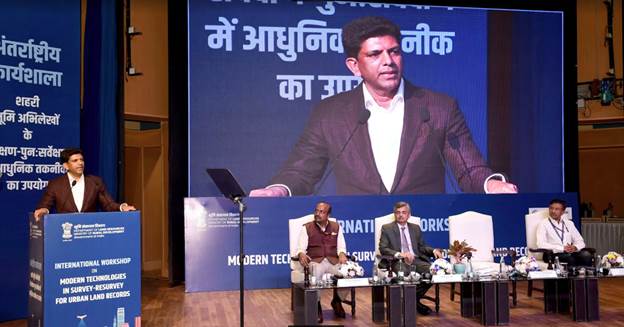
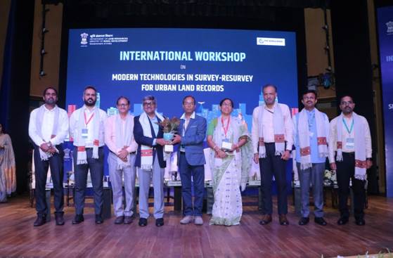
MoS Dr Pemmasani addresses concluding session of two day Workshop on Modern Technologies in Survey-Resurvey for Urban Land Records
- More than administrative tools, accurate land records are the back bone of socio economic planning, public service delivery and conflict resolution
- Geo spatial tools, Drone and Aircraft technologies and GIS integrated solutions
MoS Dr Pemmasani addressed the concluding session of two day Workshop on Modern Technologies in Survey-Resurvey for Urban Land Records at Dr. Ambedkar International Centre (DAIC), New Delhi today. Minister of State for Rural development Dr Chandra Sekhar Pemmasani speech emphasized that more than administrative tools, accurate land records are the back bone of socio economic planning, public service delivery and conflict resolution .This international workshop explored range of innovations including advances in survey-Resurvey techniques, geo spatial tools, drone and aircraft technologies and GIS integrated solutions. The collective insights shared in this workshop will act as bedrock for building smarter and more efficient urban management system in India. This event has brought together global experts and leaders united in the mission to explore innovative solution for urban land survey, he added.
Dr. Pemmasani said that as rural land records evolved urban land management must also rise to meet the demand of rapid urbanisation of cities and land administration must keep pace to ensure equitable development. We now stand at a pivotal moment in urban governance where technology meets opportunity. More than tools like Drones, aircraft based survey and satellite imagery offer unparalleled precisions, these technologies provide Ortho rectified images (ORI) , geo referenced maps that are both accurate and truth to the earth surface. By deploying these tools we reduce human errors increase efficiency and collect consistent up-to-date data in the most challenging urban environment with tall buildings, dense vegetation and complex land usage patterns. Integrating these images into GIS platforms will turn data into actionable insights enabling urban planning real estate development infra structure management, and even disaster preparedness with unprecedented precisions.

The union minister of State added over the past decade, India, under the visionary Leadership of Prime Minister Shri Narendra Modi has made significant strides with initiatives such as the Digital India Land Records Modernization Programme (DILRMP). He added that India has digitized Records of Rights (RoR) across over 6.25 lakh villages, launched the Unique Land Parcel Identification Number (ULPIN), also known as Bhu-Aadhaar, and created seamless integration between revenue and registration systems. However, as rural land records evolve, urban land management must also rise to meet the demands of rapid urbanization. Cities are expanding vertically and horizontally, and land administration must keep pace to ensure equitable development. He emphasized that urban land management is not just a technical exercise but is the foundation of economic growth, industrial development, and social harmony.
Dr Pemmasani said that moreover by creating spatially enabled land records we can resolve longstanding issues such as overlapping ownership claims, inconsistent land valuations and boundary disputes. The time has come to move beyond traditional costly and time consuming surveys and adapt these advanced technologies for a new era in urban governance. Union minister of state pleased to learn that this workshop features impactful case studies and representative from several countries across the globe US, South Korea, Spain, Germany, India and other countries shared experiences overcoming the challenges of urban land management . This workshop is not the end but the beginning of a transformative journey. The insights gained here will shape national programme to modernize urban land records. We envision the creation of pilot projects across select cities combined with capacity building initiatives for local bodies and state officials. As we leave this workshop let us Carrie with a shared commitment to apply the knowledge technologies and solutions discussed here. Together we will create a transparent efficient and equitable system of urban land management, he added. Dr Pemmasani emphasised that urban land management is not just a technical exercise and it is the foundation of economic growth, industrial development and social harmony.
Union minister congratulated the entire department of land resources and the all officials for this one of a kind movement and presenting the modern India’s capabilities to the rest of the world.

The Department of Land Resources has sanctioned a pilot programme called the “National geospatial Knowledge-based land Survey of urban Habitations (NAKSHA)” with a view to create Land Records in about 130 cities in all the States / UTs within an expected time of one year to be followed by more phases to complete the whole exercise in about 4900 Urban Local Bodies within an expected period of 5 years.
The workshop was organized with a view to consult experts of other countries on creation and collation of land records, discuss and understand the global best practices in usage of new and emerging technologies for the benefit of the stakeholders, especially the representatives of State Governments. The workshop facilitated discussions on Advanced Land Mapping with Accurate and Efficient Ortho Rectified Image Generation using aerial photography for mapping urban land parcels and properties. The speakers from Industry partners and international experts from USA, Spain, South Korea, France, Germany, Netherlands, UK, Japan and Australia presented their views during the workshop. The workshop facilitated presentations on successful case studies innovative approaches, policy frameworks, technological advancements and stakeholder involvement.

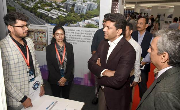
The workshop has been an excellent gathering of experts and leaders from across the globe and from within the country and one of its kind on the important topic of Urban land survey. It facilitated discussions on the advancements and innovations in modern technologies in survey-resurvey for urban land records and also showcased cutting-edge technologies by both Indian and international firms that can revolutionize land administration in urban areas of our country.
