
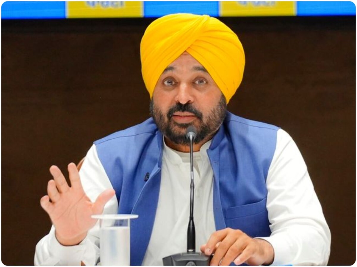
Punjab launches satellite-based forest boundary mapping under CM Bhagwant Mann, covering 2,000 sq km to prevent encroachments and boost green governance.
Punjab has taken a historic step in environmental governance by becoming the first state in India to initiate high-resolution satellite-based mapping of forest boundaries. This ambitious project is aimed at protecting forest land, preventing illegal encroachments, and strengthening ecological conservation across the state.
The initiative marks a major shift from traditional record-keeping methods to a modern, technology-driven system that ensures accuracy, transparency, and long-term sustainability in forest management.
Large-Scale Mapping of Forest and Infrastructure Zones
As part of the project, nearly 2,000 square kilometres of forest area will be digitally mapped using advanced satellite imagery. In addition, the exercise will also cover approximately 50,000 kilometres of canals, roads, and railway tracks across Punjab.
This extensive mapping will help create a precise geospatial database of land use, enabling authorities to clearly define boundaries and monitor changes in real time.
also read:- Fuel Price Hike Sparks Political Row As Harpal Singh…
Punjab is becoming the first state in the country to map forest boundaries using high-resolution satellite data, a major step towards protecting forest land and preventing encroachments.
The mapping exercise will cover nearly 2,000 sq km of forest areas along with around 50,000… pic.twitter.com/4CWFtGTXJB
— AAP Punjab (@AAPPunjab) May 25, 2026
Strong Push Under CM Bhagwant Mann’s Leadership
Under the leadership of Chief Minister Bhagwant Mann, the Punjab government is actively adopting modern technology to improve governance and environmental protection.
The administration aims to replace outdated systems with digital solutions that reduce errors, resolve long-pending land disputes, and ensure better coordination between departments.
Officials believe this approach will bring greater transparency and accountability in managing forest and public land resources.
Tackling Encroachment and Land Disputes
One of the key objectives of the satellite mapping project is to address the long-standing issue of encroachment on forest land. By using precise satellite data, authorities will be able to identify unauthorized occupation and take timely corrective action.
The digital records will also help resolve disputes related to land ownership and boundary demarcation, which have often delayed development and conservation efforts.
Boost to Environmental Protection and Planning
Experts suggest that the integration of geospatial technology into forest management will significantly enhance environmental protection efforts in Punjab. The availability of accurate data will allow better planning of conservation strategies and infrastructure development.
It will also help monitor sensitive ecological zones more effectively, ensuring that natural resources are preserved for future generations.
For Hindi News: http://newz24india.com